Page 1 (20s)
REFERENCES. 3. 1. BadrulHisham A.S., M.I. Marzukhi & A.R. Daud, (2010). The worst flood in 100 years: Johor experience. Community health journal, 15: 1-14. 2. Department of Irrigation and Drainage Malaysia (2009). Flood management manual vol 1 3. Drabek, T.E., 1995. Disaster responses within the tourism industry.International journal of mass emergencies and disasters, 13(1): 7-23. DO1:10.1016/0010-8804(95)96941-9 4. Department of Irrigation and Drainage Malaysia (2011).Flood phenomenon, flood mitigations publication & Ministry of Natural Resources and Environment. 5. DID 2000, urban storm water management manual for Malaysia, Kuala Lumpur: Department of Irrigation and Drainage Malaysia 6. Flood National Risk Assessment. December 2011. 7. J. Hamza, A. Habibah, A. Buang, K. Jusoff, M.E. Toriman, M.J. MohdFuad. A.C. Er& A.M. Azima. Flood disaster, impacts and the tourism providers responses: The Kota Tinggi Experience. 8. Ministry of Natural Resources and Environment 2007. 100-year flood damages Johor’sNationalParks.http//www.nre.gov.my/malay/pusatmedia/penerbitan/malaysian20parks20newsletter20issue20120 march202007.pdf (retrieved 2 July 2011). 9. NgaiWeng Chan (2012). Impacts of disasters and disasters risk management in Malaysia: the case of floods. University science Malaysia, Penang, Malaysia.Pg 508-509. 10. Shafie A., 2007. Technical report extreme flood.A case study on floods of 2006 and 2007 in Johor, Malaysia. 11. National Security Council Directive Number 20 (Second Eddition) 30 Mar 2012..
Page 2 (1m 26s)
[image]. INTRODUCTION. "“If the water rising, I’m not waiting for anyone” (Jeneral Tan Sri Dato’ Sri Hj Affendi Bin Buang, 21st Chief of Defence Forces).
Page 3 (2m 3s)
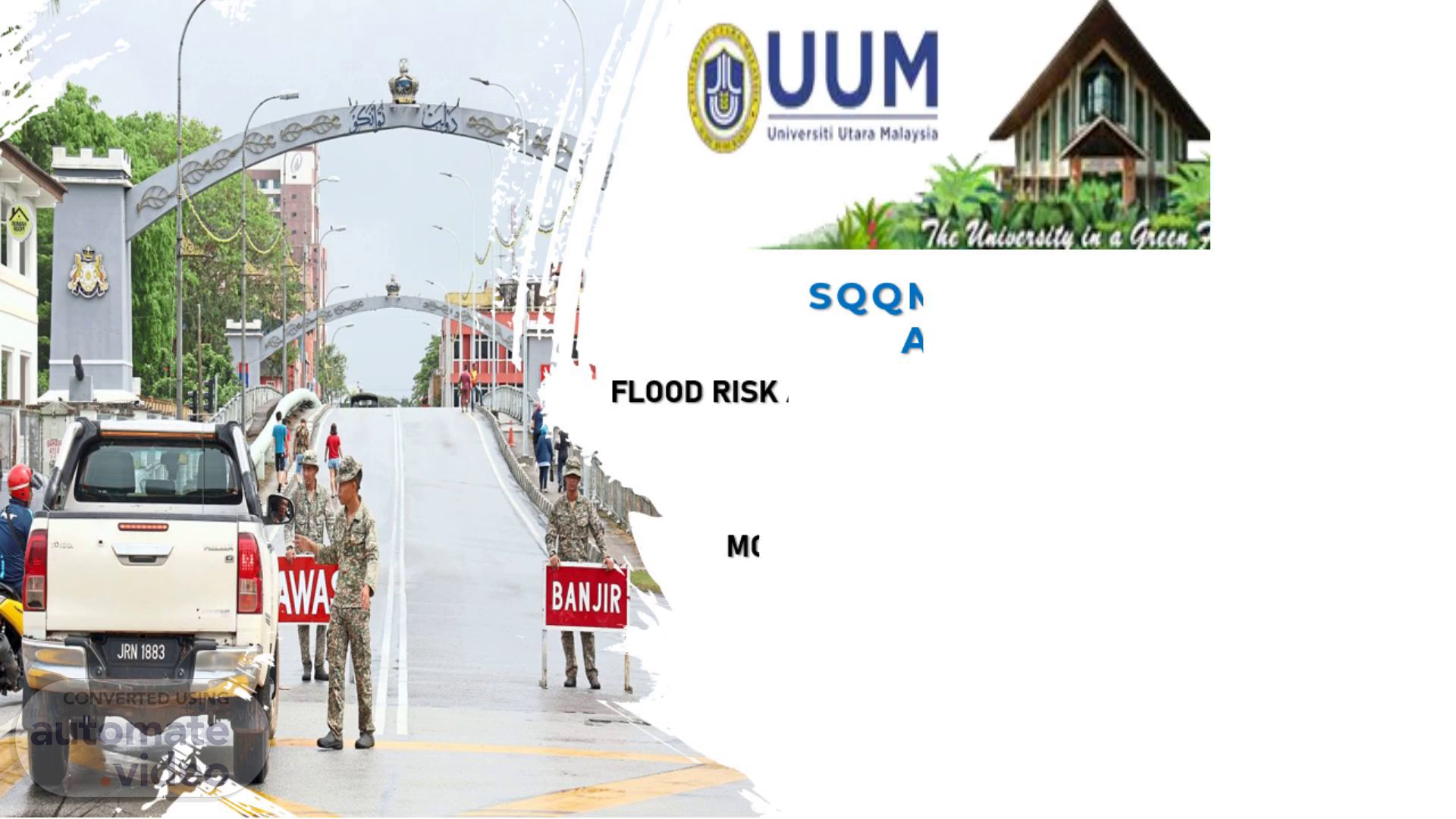
AIM. The aim of this presentation is to scrutinize the point into a risk assessment based on flood at Kota Tinggi year 2006-2007.
Page 4 (2m 14s)
SCOPE. PROBLEM STATEMENT. 6. TYPE OF RISK. [image].
Page 5 (2m 29s)
PROBLEM STATEMENT. The rainfall pattern in Malaysia and how is it influenced by the two monsoons: the South west Monsoon (May to September) and north east Monsoons Nov until March). The location of Malaysia itself consists of West Malaysia (Peninsula Malaysia) and East Malaysia (Sabah and Sarawak) and they are divided by the South China Sea Local weather changes are among the natural cause that triggered flash flood; while non-natural causes such as inefficient urban drainage system and increase of the number of building in the urban areas, and it is the causes of most of the flash floods event in the Kota Tinggi.
Page 6 (3m 1s)
REVIEW OF FLOOD HISTORY AT KOTA TINGGI. 8. Flood in the Malaysian flood disaster history, striking in four states in the Peninsular Malaysia like: Melaka, Johor, Pahang and Negeri Sembilan. The flood incident started when the Northeast monsoon brought a heavy rain through series of continues storms, causing destructive flood in Kota Tinggi, Johor..
Page 7 (3m 35s)
Risk associated with the potential to cause harm Hazard-Based Risk Major Weakness No 3 Refers to the potential risks that arise from uncertainties or lack of predictability in various aspects of a situation. This type of risks is associated with the inability to accurately foresee or measure certain factors that may impact a project, decision or course of action Uncertainty-Based Risk.
Page 8 (3m 56s)
STEP 1: DIAGNOSIS OF EXPOSES. Risk Factors. Involved Stakeholders.
Page 9 (4m 38s)
Potential Loss. Involved Stakeholders. STEP 2: RISK TREATMENT.
Page 10 (4m 59s)
Possible Course Corrections. stakeholders can make informed decisions about how to best mitigate flood risk and enhance community resilience Move to Higher Elevation stakeholders can identify effective measures to reduce the vulnerability of buildings and infrastructure to flooding and enhance overall community resilience. Flood Proofed of Modified Structure can ensure a more comprehensive and effective approach to flood risk management. This holistic approach helps minimize the impact of floods on communities and infrastructure, ultimately contributing to greater resilience in the face of future flood events. Participate in Any Emergency Flood Fighting.
Page 11 (5m 40s)
ANY RED FLAGS?. 1 Heavy Rainfall. Intense or prolonged rainfall leading to rising water levels in rivers and streams can be precursor to flooding. Meteorological warnings about heavy rainfall in the area might have been issued. River Levels. Monitoring river levels is crucial in flood forecasting. Rapid rises in river levels, exceeding normal seasonal patterns could have been a warning sign of impending flooding. Localized Flooding. Reports of localized flooding in low-lying areas with poor drainage systems could have indicated the potential for more widespread flooding if the rainfall continued. Weather Forecast. Weather forecasts predicting continued heavy rainfall or the persistence of weather patterns conducive to flooding could have raised concerns 2 3 4.
Page 12 (6m 26s)
CONCLUSION. 1 2 3 4 Nature Base Solutions Infrastructure Improvement Sustainable Land Use Planning Community Engagement Climate Change Adaption Measures 5.
Page 13 (7m 11s)
25. 27. Thank You Note Day – Fun Holiday. QUESTION & ANSWER.