Page 1 (0s)
SATELLITE NAVIGATION SYSTEM.
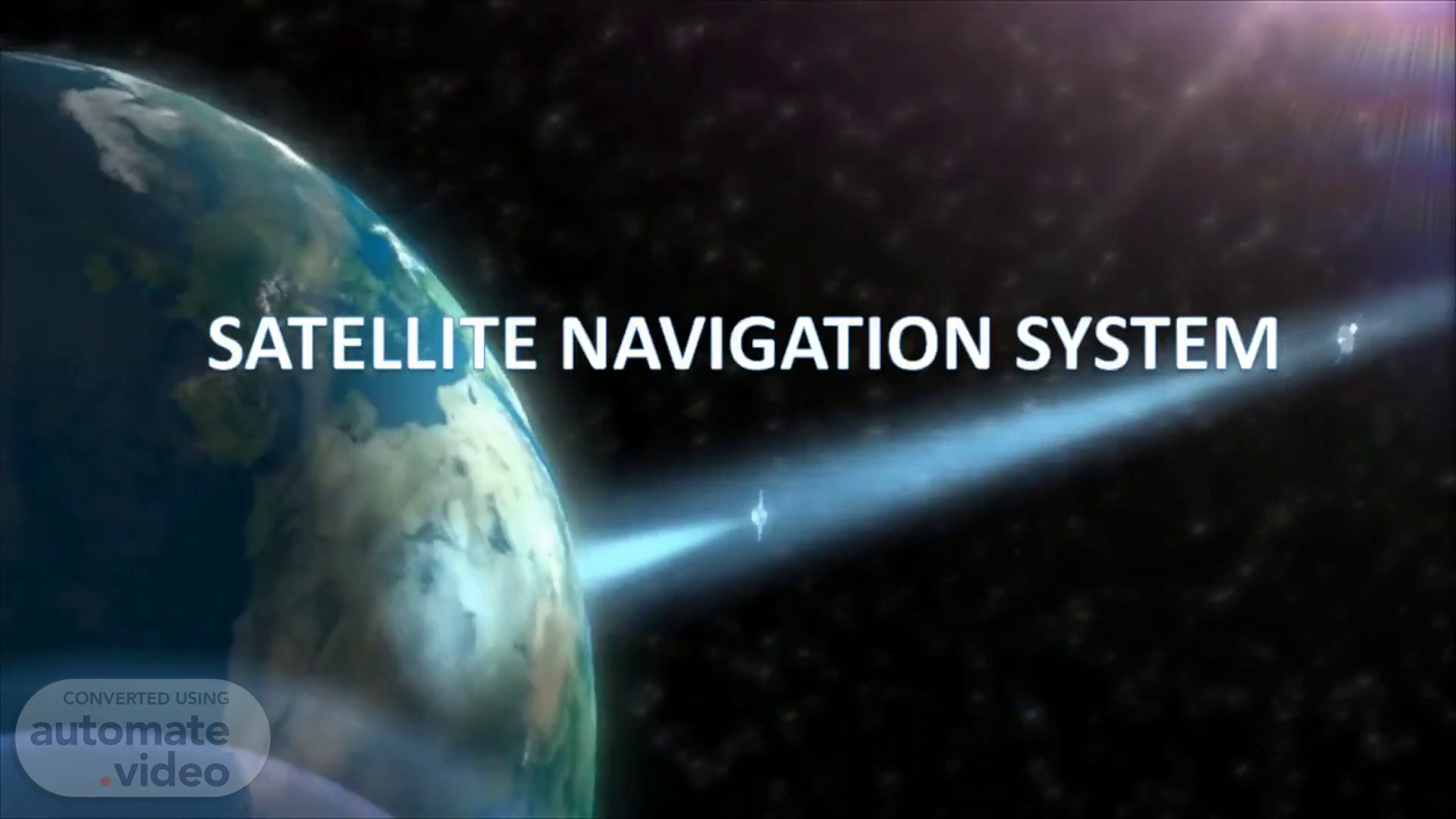
Page 2 (24s)
SATELLITE NAVIGATION SYSTEM. Satellite navigation systems use a series of satellites placed in specific orbit around the earth to figure out where the receiver is located. The satellites transmit orbital and timing information. The receiver uses this information from satellites to calculate it's position. Commercial systems are accurate to a couple meters, but high-end systems are accurate to a few centimeters..
Page 3 (1m 22s)
Time Signal. A time signal is a visible, audible, mechanical, or electronic signal used as a reference to determine the time of day..
Page 4 (1m 32s)
Line-of-sight propagation. Line-of-sight propagation is a characteristic of electromagnetic radiation or acoustic wave propagation which means waves which travel in a direct path from the source to the receiver..
Page 5 (2m 1s)
GNSS. GPS (Global Positioning System) used to be an umbrella term for satellite navigation systems but now GPS is associated with the U.S. owned NAVSTAR system. GNSS (Global Navigation Satellite System) is the umbrella term today for global systems, but only two global systems exist at the time. There are also regional satellite navigation systems, and regional satellite navigation systems that are in the infant stages of becoming global. See below for the major satellite navigation system that exist today.
Page 6 (2m 39s)
GPS. The NAVSTAR GPS system in composed of 24 satellites, and was created by the U.S. Department of defense. It can be accessed anywhere on or near the Earth where is an unobstructed line-of-sight to four or more GPS satellite. The system provides critical capabilities to military, civil and commercial users worldwide and is freely accessible to anyone with a GPS receiver..
Page 7 (3m 8s)
GLONASS. GLONASS is also composed of 24 satellites but was developed in the Soviet Union and is operated by the Russian Aerospace Defense Forces. This sat nav system is the only other navigational system in operation with global coverage and the comparable precision..
Page 8 (3m 27s)
GALILEO. Galileo is a 30-satellite global navigation system currently being developed by the European Union and European Space Agency, expected to be complete in 2019. One of the goals of the system is to provide a high precision positioning system for European nations that is independent from the Russian GLONASS, U.S. GPS, Indian IRNSS and Chinese Compass Systems..
Page 9 (4m 23s)
IRNSS. The Indian Regional Navigational Satellite System (IRNSS) is a regional satellite navigation system being developed by the Indian Space Research Organization. When complete, it will be under control of the Indian government. IRNSS will provide standard service for civilian use and an encrypted restricted service for authorized users(military)..