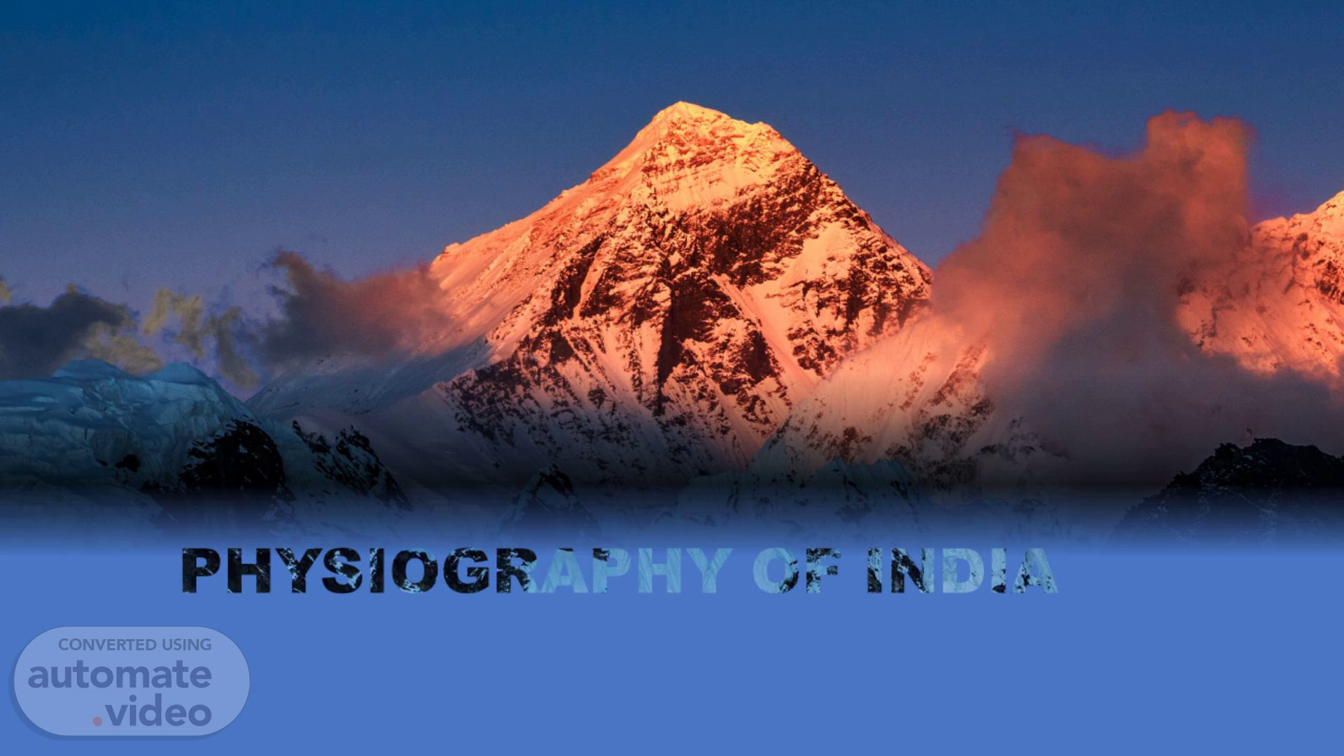
PowerPoint Presentation
Scene 1 (0s)
Good afternoon everyone, today we all have summoned here to discuss the topic physiography of India as part of our curriculum. now without wasting any time of yours lets start with the presentation
Scene 2 (5s)
[Audio] Physiography is a branch of geography that studies the present relief features of the earth's surface. These relief features have been continuously shaped by both endogenetic and exogenetic forces across different geological periods. India secures a unique position across the world concerning with its physiography as there are diverse forms of landforms spread across vast dimension of the the country like the lofty young fold mountains, the flat plains and the oldest plateau of the world..
Scene 3 (38s)
[Audio] In general, India has been divided into five physiographic regions, which are as follows:- 1 THE HIMALAYAS 2 THE GREAT PLAINS OF NORTH INDIA 3 THE PENINSULAR PLATEAU 4 THE COASTAL PLAINS 5 THE ISLANDS.
Scene 4 (55s)
[Audio] The himalayas. ewe,.
Scene 5 (1m 1s)
[Audio] Himalayas are the young fold mountains.This is the highest mountain range of the world. Himalayas act as natural barrier. The extreme cold, snow and rugged topography discourage the neighbors to enter India through Himalayas. They run from west-east direction from Indus to Brahmaputra along the northern boundary of India covering a distance of 2500 KM. Their width varies from 400 in the west and 150 km in the east. covering a distance of 2500 KM. Their width varies from 400 in the west and 150 km in the east. The Himalayas may be divided into three parallel ranges: (a) Greater Himalayas or Himadari (b) Lesser Himalayas or Himachal (c) Outer Himalayas or Siwaliks.
Scene 6 (1m 52s)
[Audio] The Himalayas may be divided into three parallel ranges: (a) Greater Himalayas or Himadari (b) Lesser Himalayas or Himachal (c) Outer Himalayas or Shiwalik.
Scene 7 (2m 11s)
[Audio] The Greater Himalayas or Himadari: The Greater Himalayas comprises of the northern most ranges and peaks. It has an average height of 6000 metres and width lies between 120 to 190 Kms .It is the most continuous range. It is snow bound and many glaciers descend from this range. It has high peaks like Mt. Everest, Kanchenjunga, Makalu, Dhaulagiri, Nanga Parbat etc. having a height of more than 8000 metres. Mt. Everest (8848 m) is the highest peak of the world and Kanchenjunga is the highest peak of Himalaya in India. High Mountain passes also exist in this range, namely, Bara Lacha-La, Shipki-La, Nathu-La, Zoji-La, Bomidi-La etc. The Ganga and Yamuna rivers originates from this Himalayas..
Scene 8 (3m 16s)
[Audio] THE LESSER HIMALAYAS It is the middle range of Himalayas. Height of this range varies from 3,700 to 4,500 m. Its width varies upto 80 km. ● The major rocks of this range are slate, limestone and quartzite. ● Pir Panjal, Dhauladhar and Mahabharat are the mountain ranges found in this part. ● Major hill stations of the Himalayas are located in this range. Shimla, Mussourie, Nainital, Almora, Ranikhet and Darjeeling are the familiar ones..
Scene 9 (3m 52s)
[Audio] THE OUTER HIMALAYAS Outer Himalayas are called Siwalik likewise spelt as Shiwalik, they are the sub-Himalayan range of the northern Indian subcontinent. It expands west-northwestward for an extra 1,000 miles from the Tisza River in Sikkim state through Nepal, across northwestern India, and into northern Pakistan..
Scene 10 (4m 13s)
[Audio] Purvanchal Hills ● These are the eastern off-shoot of Himalayas. It extended in the north-eastern states of India. ● Most of these hills are located along the border of India and Myanmar while others are inside India. ● Dafla Hills, Abor Hills, Mishmi Hills, Patkai Bum Hills, Naga Hills, Manipur Hills, Mizo Hills, Tripura Hills, Mikir Hills, Garo Hills, Khasi Hills and Jaintia Hills are the hills which are collectively known as purvanchal Hills. Highest Peaks in Himalayas ● Himalaya is the home of several high peaks. However, it holds the record of having the maximum number of highest peaks among any mountain range in world. Out of 14 heights peaks in this world, Himalayas holds 9..
Scene 11 (5m 3s)
[Audio] The following image represents the Himalayan ranges on the map.
Scene 12 (5m 8s)
[Audio] The great northern plain.
Scene 13 (5m 13s)
[Audio] This plain is one of the most extensive stretches of the alluvium in the world and is deposited by the rivers Indus, Ganga, Brahmaputra and their tributaries. ● The length of the plain is about 2,400 km and the width varies from 240 to 320 km. Its width increases from east to west. It covers an area of over 7 lakh sq.km. ● The Great Plains of India is remarkably a homogeneous surface with an imperceptible slope. They are formed mostly by the depositional process of the Himalayan and Vindhyan rivers. These rivers deposit enormous quantity of sediments deposited along the foothills and flood plains. ● Northern Great Plains is divided into four as Rajasthan Plains, Punjab Haryana Plains, Gangetic Plains and Brahmaputra Plains. ● The great northern plains are a rich soil cover combined with adequate water supply and favorable climate it is agriculturally a very productive part of India. ● The rivers coming from northern mountains are involved in depositional work. In the lower course, due to gentle slope, the velocity of the river decreases which results in the formation of riverine islands. ● Majuli, in the Brahmaputra River is the largest inhabited riverine island in the world..
Scene 14 (6m 36s)
[Audio] The northern plains on the map of india.
Scene 15 (6m 41s)
[Audio] Now we commence forward to the peninsular plateau.
Scene 16 (6m 47s)
[Audio] The Peninsular plateau is a tableland composed of the old crystalline, igneous and metamorphic rocks. ● The plateau region lies to the south of the Great Northern Plains. This is the largest physiographic division of our country. It covers an area of about 16 lakh sq.km. ● Aravalli hills mark the north-western boundary of the plateau region. Its northern and north-eastern boundaries are marked by the Bundelkhand upland, Kaimur and Rajmahal hills. The Western Ghats and the Eastern Ghats mark the western and eastern boundaries respectively. ● The altitude of a large portion of the plateau is more than 600 m from mean sea level. ● The peak of Anaimudi is the highest point in the plateau. Its height is 2,695 m and is located in Anaimalai. ● All the major rivers (Mahanadi, Godavari, Krishna, Kaveri etc.) lying to the south of the Vindhyas flow eastwards and fall into the Bay of Bengal. ● Narmada and Tapti are the two rivers situated to the south of the Vindhyas flow westward. Their movement towards west is due to the presence of a rift valley in the region. ● The river Narmada divides the plateau region of India broadly into two parts. The region lying to the north of the Narmada is called the Central Highlands and the region lying to the south of Narmada is called the Deccan Plateau..
Scene 17 (8m 18s)
[Audio] Central Highlands ● The Central Highlands extend between the river Narmada and the Northern Great Plains. ● The Aravallis form the west and northwestern edge of the Central Highlands. These hills extend from Gujarat, through Rajasthan to Delhi in the northwesterly direction for a distance of about 700 km. ● Gurushikhar (1,722 m) is the highest peak of Aravallis range. ● The Western part of the Central Highland is known as the Malwa Plateau. The rivers Chambal, Betwa and Ken drain the Malwa Plateau before they join the river Yamuna. ● The part of the Central Highlands which extends to the east of Malwa Plateau is known as Bundelkhand and its further extension is known as Bagelkhand. ● The eastern part of the Central High lands which lies in the north-eastern part of the Indian Plateau is known as Chhota-Nagpur Plateau. It covers much of Jharkhand, adjacent parts of Odisha, West Bengal, Bihar and Chhattisgarh. This region is very rich in mineral resources particularly iron ore and coal..
Scene 18 (9m 26s)
[Audio] Deccan Plateau ● This physiographic division is the largest part of the plateau region of India. The shape of this plateau is roughly triangular. ● The area of this Plateau is about 7 lakh square km and the height ranges from 500 to 1000 m above sea level. ● The Western Ghats forms the western edge of the Peninsular Plateau. It runs parallel to the Arabian Sea coast. The northern part of this range is called as Sahyadris. The height of the Sahyadris increases from north to south. ● Eastern Ghats run from southwest to northeast form the eastern edge of this Plateau. This range is also called as Poorvadri. ● The Eastern Ghats join the Western Ghats at the Nilgiri hills, bordering Karnataka and Tamil Nadu. ● The Eastern Ghats are not continuous like the Western Ghats..
Scene 19 (10m 20s)
[Audio] Image of Peninsular plateau located on the Indian map.
Scene 20 (10m 26s)
[Audio] Now comes the coastal plains. -søii(;.
Scene 21 (10m 32s)
[Audio] The Indian coastal plains are divided into the following two divisions: ● The Western Coastal Plains ● The Eastern Coastal Plains.
Scene 22 (10m 42s)
[Audio] The Western Coastal Plain ● It lies between the Western Ghats and the Arabian Sea. It extends from Rann of kutch in the north to Kanyakumari in the south and its width varies from 10 to 80 km. ● The northern part of the West Coastal Plain is known as Konkan Plain. The middle part of this plain is known as Kanara. The southern part of the plain is known as Malabar Coast which is about 550 km long and 20-100 km wide. ● Along the west coast, there are numerous shallow lagoons and backwaters called Kayals and Teris. Vembanad is a famous back water lake found in this region..
Scene 23 (11m 22s)
[Audio] The Eastern Coastal Plain ● It lies between the Eastern Ghats and the Bay of Bengal. ● The coastal plain between Mahanadi and Krishna River is known as the Northern Circars and the southern part lies between Krishna and Kaveri rivers is called Coromandel coast. ● The Marina beach on this coast in Chennai and it is the second longest beach in the world. ● The Chilika Lake is the largest salt water lake in India. It lies in the state of Orissa, to the south of the Mahanadi delta. ● The Kolleru Lake which lies between the deltas of Godavari and Krishna. ● The Pulicat Lake lies in the border of Andhra Pradesh and Tamil Nadu are the well-known lakes in the east coastal plain..
Scene 24 (12m 5s)
[Audio] The following map locates the eastern coastal plains and western coastal plains on the map of india.
Scene 25 (12m 12s)
[Audio] The islands of india.
Scene 26 (12m 18s)
[Audio] India has two major island groups namely Andaman and Nicobar and Lakshadweep. ● The Andaman and Nicobar group consists of 572 islands and are located in Bay of Bengal. ● Lakshadweep consists 27 islands and are located in Arabian Sea..
Scene 27 (12m 39s)
[Audio] Andaman And Nicobar Islands ● India's only active volcano is found on Barren Island in Andaman and Nicobar group of Islands is divided into two. They are Andaman in the north and the Nicobar in the south. ● Port Blair is the administrative capital of the Andaman and Nicobar islands. ● The Ten Degree Channel separates Andaman from Nicobar group. ● The southernmost tip, the Indira Point is a part of Nicobar Island. ● India's only active volcano is found on Barren Island in Andaman and Nicobar group of Islands..
Scene 28 (13m 12s)
[Audio] Lakshadweep Islands ● This is a small group of coral islands located off the west coast of India. It covers an area of 32 sq. km. ● Kavaratti is its administrative capital. ● Lakshadweep islands are separated from the Maldives Islands by the Eight Degree Channel. ● The uninhabited "Pitt Island" of this group has a bird sanctuary.
Scene 29 (13m 35s)
[Audio] Islands on the map of india first is Andaman and Nicobar islands followed by lakshwadeep island.
Scene 30 (13m 43s)
[Audio] Now we have come to the end of the slide I really appreciate to my fellow mates attention to my work and I would like to thank my professor for giving us an insightful project. Thankyou ..